

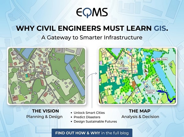
Civil engineering has always been one of the most respected
professions. From roads and bridges to buildings and water systems, civil
engineers create the backbone of society. Traditionally, the field has focused
on planning, designing, and constructing physical infrastructure. But in
today’s data-driven era, civil engineers are no longer limited to conventional
tools. Geographic Information Systems (GIS) has emerged as a powerful
technology that connects engineering with spatial data, helping professionals
design smarter, safer, and more sustainable solutions. For civil engineers,
learning GIS is not just an option, it’s a strategic step toward a future ready
career.
The Link Between Civil Engineering and GIS
Civil engineering projects are deeply connected to
geography. Every structure, whether a highway, a bridge, or a housing complex,
is built on land, influenced by the environment, and shaped by human needs. GIS
equips engineers with the ability to collect, manage, analyze, and visualize
spatial data. This means they can make informed decisions before construction
even begins.
Example: When designing a new road network, GIS can map
terrain, existing infrastructure, population density, and flood-prone zones.
With these insights, engineers can create designs that are not only
cost-effective but also environmentally sustainable.
Why GIS Matters for Civil Engineers
GIS offers unique advantages that enhance traditional
engineering practices:
• Planning
& Design: Analyze topography, soil, and land-use patterns before
construction to reduce risks and costly mistakes.
• Efficient
Resource Management: Optimize land, materials, and energy use with smart
mapping and analysis.
• Environmental
& Risk Analysis: Assess ecosystem impacts and prepare for natural
hazards like floods or landslides.
• Urban
& Transport Development: Support city growth by designing smarter road
networks, public transport, and utility layouts.
Career Opportunities in GIS for Civil Engineers
Civil engineers with GIS expertise are in high demand across
government, private firms, and international development agencies. Key areas
include:
• Transportation
Planning: Designing efficient road, rail, and transit systems.
• Urban
Development: Supporting smart city projects and utility mapping.
• Environmental
Engineering: Monitoring water distribution, pollution control, and land
use.
• Construction
Management: Enhancing site planning, scheduling, and progress tracking.
• Disaster
Management: Mapping vulnerable areas and planning emergency response
routes.
Future of Civil Engineering with GIS
The demand for smart cities, sustainable infrastructure, and
disaster resilience is rapidly growing. Civil engineers who combine technical
expertise with GIS knowledge will remain highly sought after worldwide. GIS is
no longer just a tool for geographers; it’s becoming a core skill for modern
civil engineers. By learning GIS, you’re not just upgrading your technical
toolkit; you’re positioning yourself as a future ready professional who can
design infrastructure that meets both human needs and environmental challenges.
Share this page via